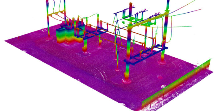
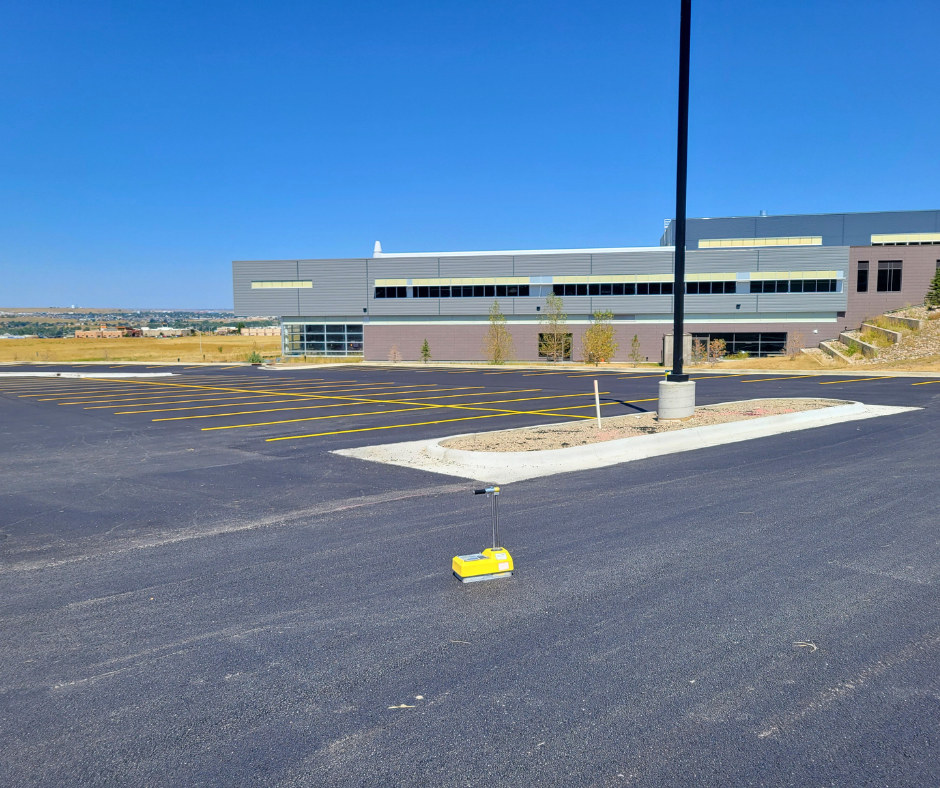
WLC was hired by Rocky Mountain Power to provide 3D laser scanning of power poles and sag along Wyoming Boulevard for a pole inventory and to identify existing and potential line conflicts. The final deliverable, a PLS-CADD file, presented the owner with a real time, dated picture of existing field conditions and existing inventory as they designed alternate routes and structure criteria for enhanced service to the community. WLC was challenged with difficult survey conditions along a very busy state highway, winter conditions, and considerable conflicts to identify and acquire. WLC incorporated a process in which we tied all scans into the project coordinate system utilizing the control network established for the project. This process allowed the designer and engineer to work in one coordinate system for the entire project and seamlessly insert into the Rocky Mountain Powers GIS. The project, which was part of a multi-million-dollar improvement to the community by the client. By using 3D laser scanning, WLC provided excellent data for design and as-built issues. The goal of the project was to bring redundancy to the power grid in Casper and Natrona County. WLC completed the project on time and under budget.


