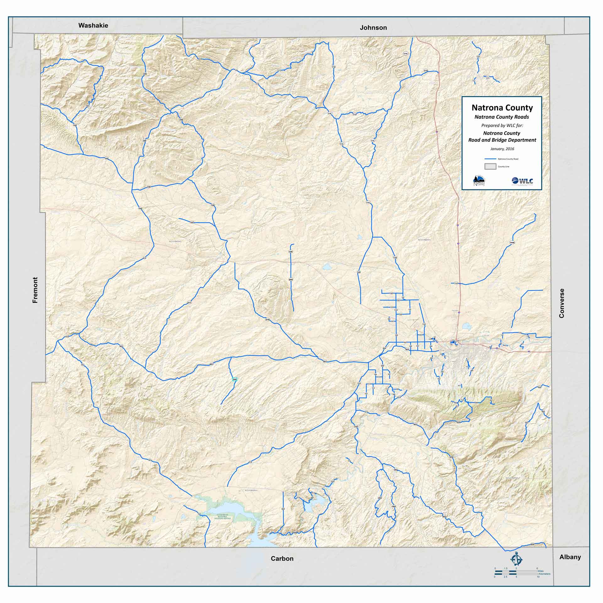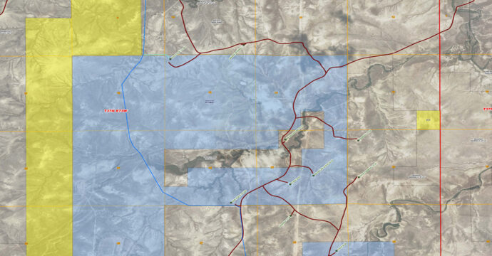
We Offer
- Asset Inventories Utilizing GPS
- Custom Geodatabase Development
- Data Development & Management
- Custom Mapping Products
- CAD & Hardcopy Data Conversion
- Quality Assurance & Data Accuracy Evaluations
- Aerial Photography & LiDAR Flight Coordination
WLC offers GIS as a standalone or complimentary service to provide dynamic, project-specific solutions to our clients and their projects. Offering this service has become a necessary and valuable tool for the management of geospatial data including underground infrastructure. By creating a mapping and data management plan, GIS allows WLC to streamline our process and improve efficiency and convenience on every project.