We Offer
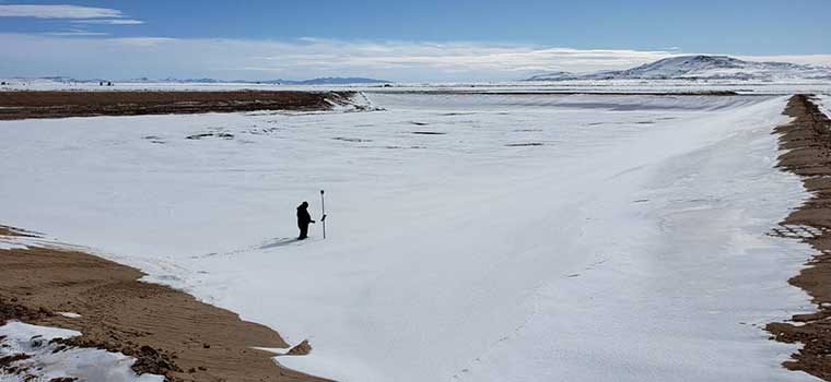
- Global Positioning Systems (GPS) Static & Dynamic Surveys
- Geographic Information System (GIS) Support Surveys
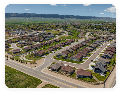
- Commercial and Residential Property & Boundary Surveys
- ALTA/ACSM Surveys
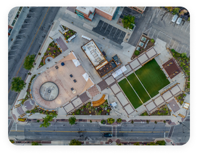
- Topographic & Aerial Mapping Control
- Highway & Right-of-Way Retracement Surveys
- Subdivision Platting & Legal Descriptions
- Pipeline Alignment, Right-of-Way Acquisition & As-Builts
- Small Unmanned Aircraft System Aerial Survey
- Oil & Gas Well Locations
- Mining Claims & Reclamation
- Architectural & Construction Surveys for Development
- Water Rights
- Transmission & Distribution Line Alignment Surveys & Right-of-Way Acquisition
- Power Line Structure Staking Surveys
- Wind and Solar Energy Projects
- 3D High-Definition Scanning
Our surveyors have the technical knowledge and experience needed to complete land surveying projects above, on, or underground. We offer surveying services for private and public clients in each of the industries we serve.