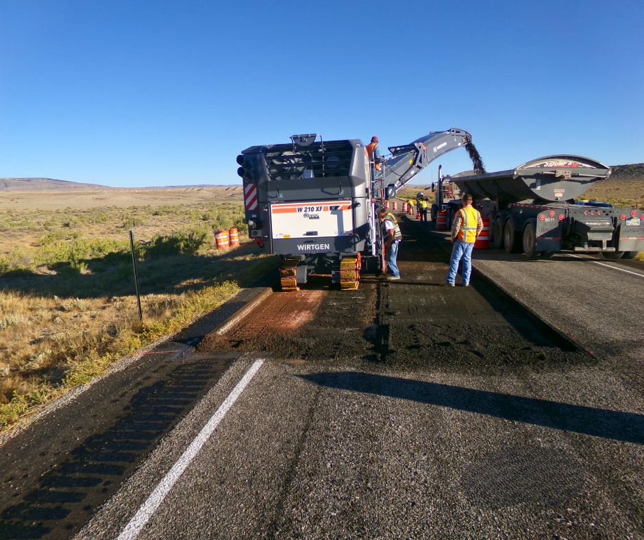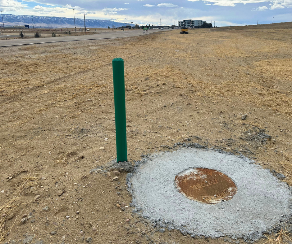
WLC coordinated with the Town of Evansville Public Works Department to develop a functional infrastructure Geographic Information System (GIS) to be utilized for asset management and distribution system analysis. The purpose of developing a GIS for the Town of Evansville was to enhance continuity, improve management capabilities, and provide Town staff with accurate utility data in a timely fashion. GPS was used to collect features such as fire hydrants, curb stops, meter pits, valves, manholes, and lift stations. After these point features were created within the geodatabase, attributes were developed upon using resources such as record drawings, maintenance and inspection sheets, historical data, and general discussions with public works personnel and project engineers. WLC collected GPS data based on a well-developed plan that enhanced accuracy and that expedited collection time. Pre-planned collection routes, plus a well-designed data dictionary allowed for minimal collection times with maximum values.