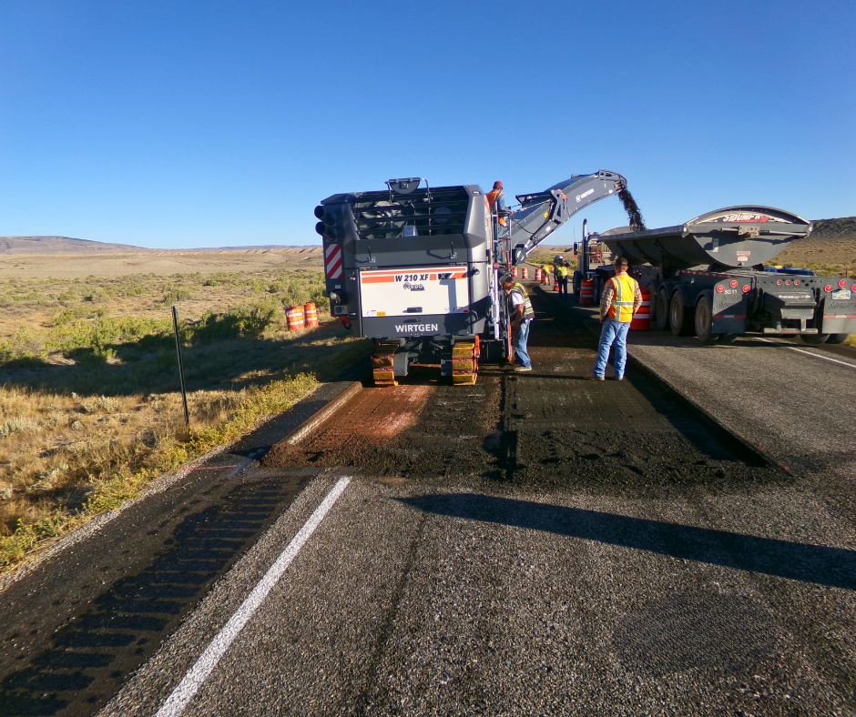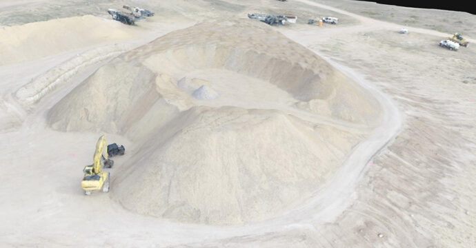
WLC was hired by North Slope Crushing, LLC to satisfy the survey and quantity calculation specifications of their contract with the United States Bureau of Reclamation (USBR) to supply crushing services at a USBR-owned pit. WLC completed an aerial survey of the approximate 13-acre stockpile before crushing began using a Phantom 4 Pro Unmanned Aerial Vehicle (UAV) to establish the base surface of the stockpiled material. The UAV collected over 300 pictures in less than 15 minutes. Setting of aerial targets and collection of approximately 90 ground check shots, for quality control, took less than one hour. A similar flight was conducted after crushing and stockpiling was completed to determine the volume of crushed materials and disturbance areas for reclamation purposes. The point clouds that were produced from close range photogrammetry software were processed and checked before being used to create the surfaces in CAD to compute volumes and areas. One-half inch resolution ortho-imagery was created in the process and used as a background for deliverables. When compared to conventional survey methods, WLC was able to meet the survey and deliverable specifications with minimal impact on crushing operations and provide those services at a significant cost savings to the client.