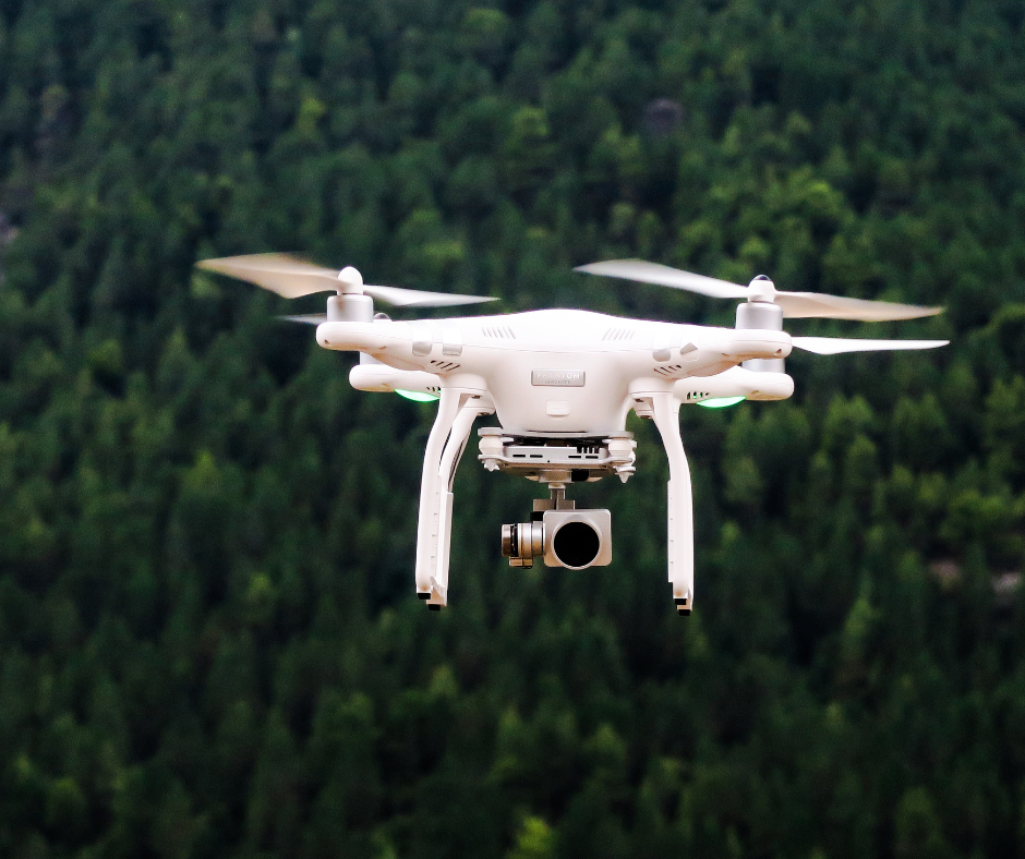
Land surveying projects have evolved greatly with the use of Unmanned Aerial Vehicles (UAV). By using UAVs, our surveyors are able to carry out surveying projects with greater accuracy in a fraction of the time it took before using a UAV. Along with reducing costs, UAVs cut down surveyor workload and the time required to collect data on many projects. Here are three great applications for UAVs.
Route Projects
UAVs are highly effective for route projects including transmission lines, pipelines, pathways, highways, and more. UAVs can be used to quickly travel the entirety of the project site, near or far. By capturing highly detailed images and data, surveyors can analyze and determine the best route for any project as well as current conditions and elevations. Through these images, surveyors can, for example, pinpoint features such as existing signs, curbs, fire hydrants, road markers, and drains. From here, the images can be used to produce detailed models and illustrations of the route.
Difficult or Rough Environments
The use of UAVs improve safety conditions for surveyors and efficiencies on projects that involve difficult, rough, or steep terrain. What was an otherwise inaccessible area is now reachable through UAVs as they are able to take off and travel almost anywhere. Additionally, UAVs can be used to provide measurements of slopes and surfaces for landslide mitigation and prevention. Our surveyors are no longer restricted by unsafe environments, steep slopes, or rough terrains. In areas where traditional measurement and surveying tools couldn’t cut it, UAVs reach these areas in a timely manner and without disrupting other operations.
Large-Area Projects
For large area projects, UAVs are essential tools to greatly and accurately capture images and data over any size of land. UAVs provide convenient and timely solutions to analyzing the area and any existing features and conditions. Therefore, by being able to take off and fly from almost any location, project time and cost are greatly reduced. The images taken can then lay the foundation for these projects by creating detailed images that can be turned into models and illustrations for pre-construction assessment and planning.
Thanks to UAVs, our surveyors can capture thousands of images of any environment in a matter of minutes to use for analysis and project planning and design. Moreover, the potential for UAVs in land surveying is enormous and should not be underestimated. Learn more about UAVs and contact our team today for aerial surveying services on your next project.