As a potential or current property owner, it’s important to understand where your boundary lines are. Without clearly marked boundaries, it is often difficult to determine what property is yours and how much area you have for the activity you are interested in. An accurate boundary survey can help remove confusion or mitigate a disagreement about a boundary line.
A boundary survey is a process used to recover a parcel’s corners and mark the lines connecting said corners. The process can also aid in the delineation of any existing easements and identify the encroachments of adjoiners into the parcel. This type of survey is recommended before buying, subdividing, improving, or building on a tract of land.
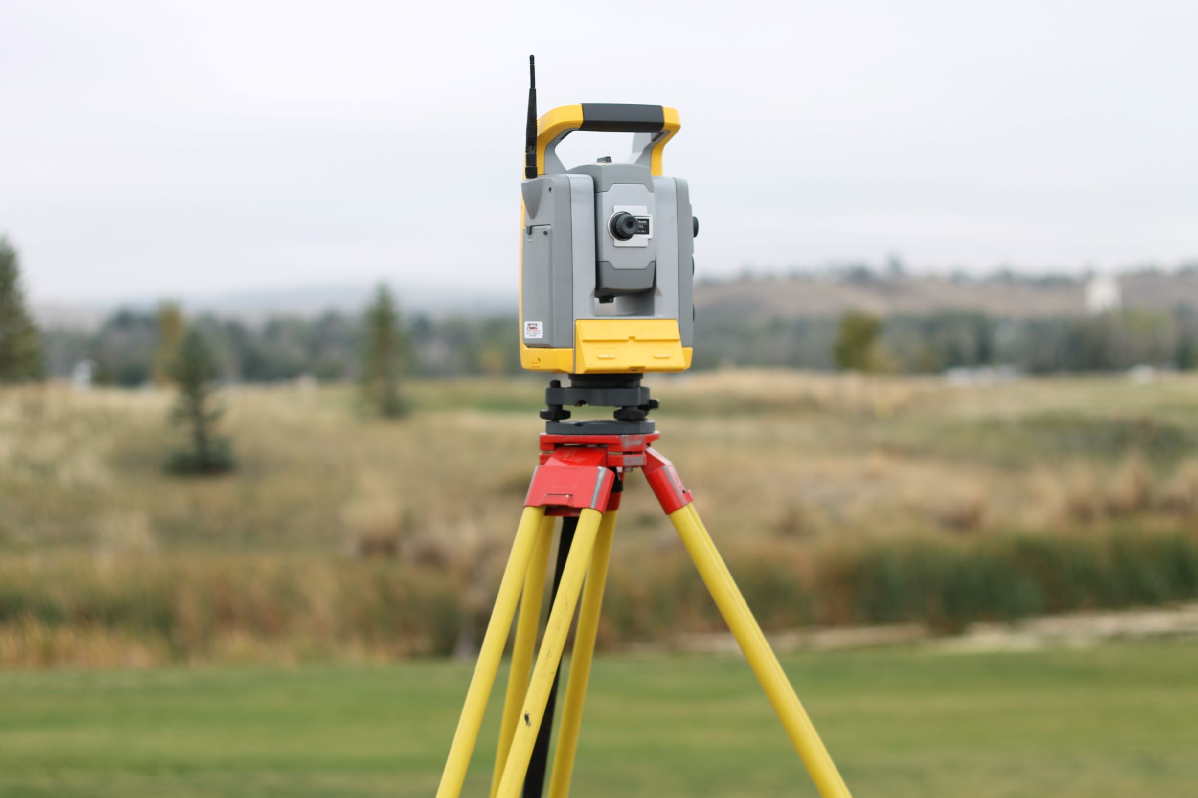
Therefore, it’s important that a boundary survey is overseen by a professional land surveyor, to comply with state statutes and regulations regarding defining property lines. The drawings, which can be produced from the data collected during the field survey, are important to retain as a record for future reference and can be recorded at the county level to aid in perpetuating the boundary of a parcel.
Land surveying has been a cornerstone of WLC Engineering and Surveying since its inception in 1948. If you need help determining whether you need a boundary survey or would like to hire a land surveying firm to perform one, contact our Surveying and Mapping Manager, Doug Boyd today! With over 275 combined years of experience, WLC will ensure your property lines are clear and your project is successful.