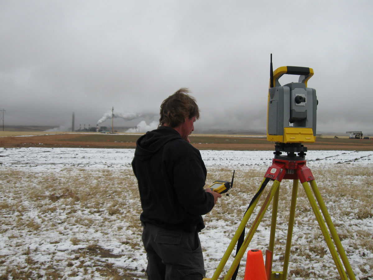
Land surveying is important to establish or reestablish land boundaries on a plat or map or layout a construction project. Land surveyors use the information from measurements and land records to understand the corners, boundaries, buildings, roads, topography, or improvements on a parcel of property. Once these records are created, they are used throughout the life of the land to track the history, development, and redevelopment of the area. We’ve put together some of the most important things to know when it comes to land surveying so you can get the most accurate information from your survey.
Who Performs Land Surveying?
Land surveyors take on the task so you can understand your land boundaries and the features within them. Professional land surveyors (PLS) typically hold a bachelor’s degree and must be licensed as a Professional Land Surveyor with the state where they practice, prior to performing any work of this nature. Many states require 4 years of work experience and training under a licensed surveyor, in addition to their degree, as a Land Surveyor in Training (LSIT) in order to obtain a license. This LSIT status can only be obtained after passing two national exams, the Fundamentals of Surveying exam and a Principle and Practice of Surveying exam. These exams, combined with the years of hands-on experience, prepare the land surveyor to provide the most accurate functions, reports, and recommendations. While PLS hold more education and a license, many land surveying technicians work under the direct supervision of a PLS their entire career. Land surveying technicians often complete many of the same educational courses and perform their field work and tasks with guidance and supervision from a PLS.
What Does a Land Surveyor Do?
Professional Land Surveyors use a combination of mathematics, engineering, physics, and legal documentation to provide determine of boundaries, topography, and orientation of a project. In addition, research and review of land records, titles, and previous survey records are also integral to provide a detailed, accurate report of a parcel’s improvements and relationship to its adjoiners.
The land surveying services that WLC provides include:
- Large- and Small-Scale Property & Boundary Surveys
- Geographic Information System (GIS) Support Surveys
- ALTA/ACSM Surveys
- Topographic & Aerial Mapping Control
- Highway & Right-of-Way Retracement Surveys
- Subdivision Platting & Legal Descriptions
- Pipeline Alignment, Right-of-Way Acquisition & As-Builts
- Small Unmanned Aircraft System Aerial Survey
- Oil & Gas Well Locations
- Mining Claims & Reclamation
- Architectural & Construction Surveys for Development
- Water Rights
- Transmission & Distribution Line Alignment Surveys & Right-of-Way Acquisition
- Power Line Structure Staking Surveys
- Wind Energy Projects
- 3D High Definition Scanning
When Should Land Surveying Be Performed?
There are many types of surveying that can be performed based on the project and the reports necessary. Land surveyors often perform a Boundary Survey to confirm the boundaries of a property by producing a plat or map that depicts the improvements or encroachments upon that parcel at the time the surveyor was onsite. Engineering or construction surveys are performed to determine the precise location of roads, buildings, and depths for foundations. Additionally, these surveys can show the grade or topography of the site for planning and design purposes.
Where Can I Find a Land Surveyor?
While some land surveyors may be self-employed, most land surveyors work within a professional service firm. At WLC, our surveyors have the highest education and experience to provide the most accurate, in-depth, detailed surveys to our clients.
In addition to Wyoming, WLC employs Professional Land Surveyors registered in Colorado, Idaho, Nebraska, and Utah. Since our inception, we have worked with municipalities, state and federal agencies, private land owners and developers, and energy and power companies in all aspects of land surveying.
Why is Land Surveying Essential to my Project?
It would be nearly impossible to start an engineering or construction project or transfer land titles through the purchase or selling of property without a proper land survey performed by a licensed land surveyor. It is important to know where the boundaries of any property are to determine what is owned by you or your neighbor and to ensure your project is marked accurately and built to tolerances established by the design engineer.
Our team of land surveyors understands how important the process of land surveying is to any project. Our dedication to excellence through each of our services will help your next project be a success. Reach out to our team to learn more about our process and how we can design the project you need.

