Throughout our 70+ years, WLC has had the pleasure of providing land surveying services throughout Wyoming and the region. In addition to Wyoming, WLC employs Professional Land Surveyors registered in Colorado, Idaho, Nebraska, and Utah, which means we’ve seen a lot of beautiful territory.
With countless projects under our belts, many have offered scenic views that have made land surveying not just a job, but an enjoyable experience! Check out our top 5 land surveying views below and contact us to learn more about our land surveying services!
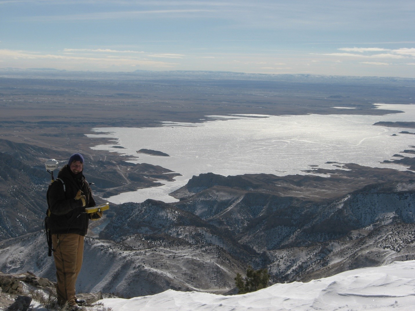
1. Tribal Right-of-Way Surveys – Crow Indian Reservation, MT and Wind River Indian Reservation, WY
Beginning in 2003, WLC Engineering and Surveying was contracted to renew power line right-of-way easements on Indian Reservations in South Central Montana and Western Wyoming.
The services included locating existing power lines, boundary surveys, allotments, and road access surveys. Despite the terrain and weather challenges, the Tribal right-of-way project offered amazing views as evidenced above.
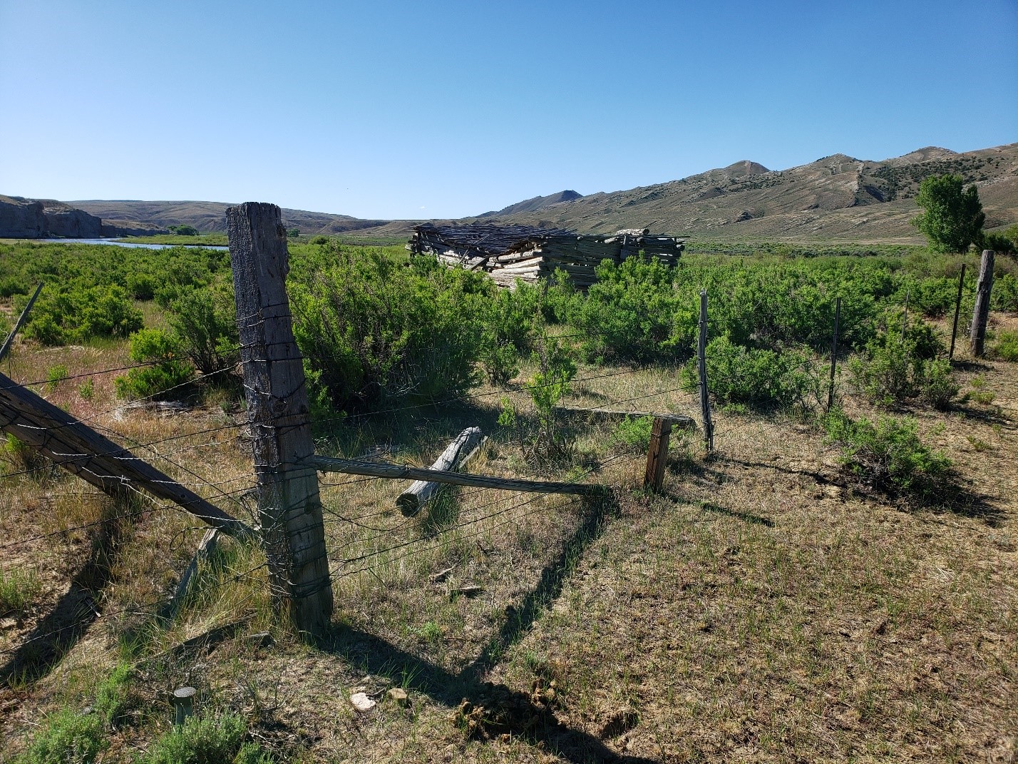
2. Fence line Survey on the Sheller Homestead – North Platte River, Carbon County, Wyoming
WLC Engineering and Surveying was hired spring of 2020 to provide a boundary survey for fence line reconstruction on the historic Sheller Homestead located on the North Platte River in Carbon County, Wyoming. The site, bounded by cliff fronts along the river, provides stunning views of the industry and effort of Wyoming’s settlers.
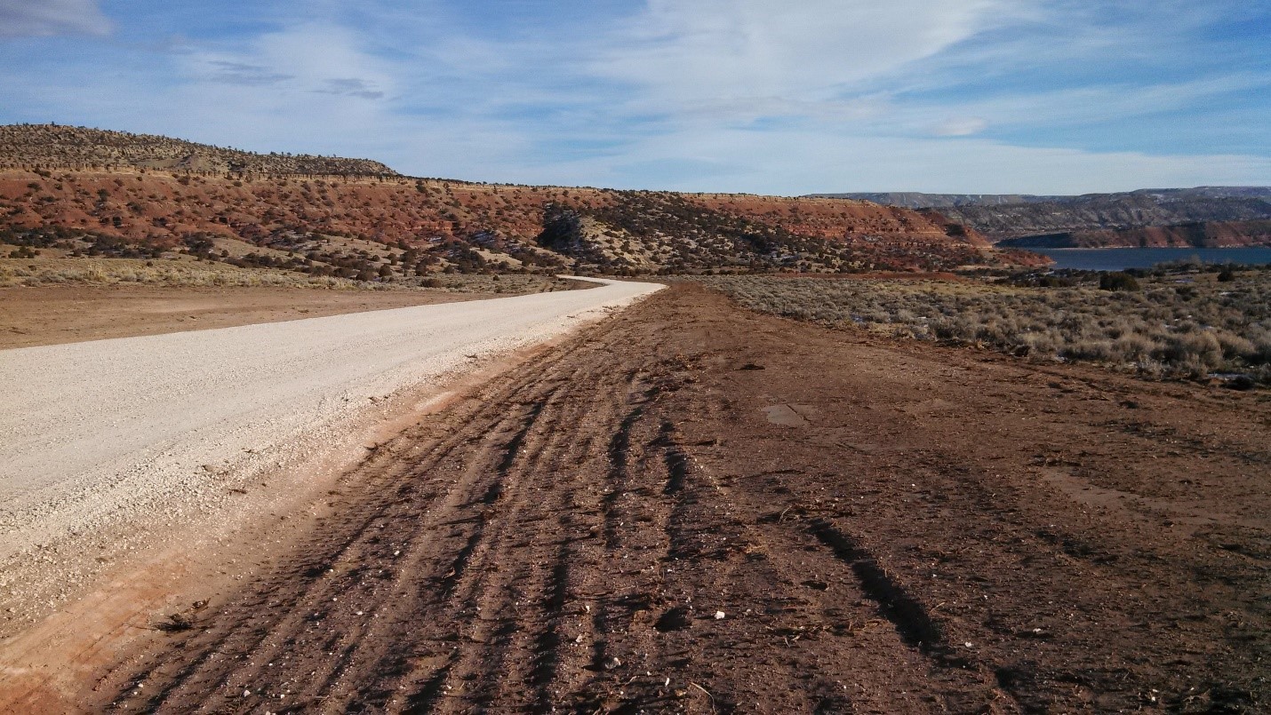
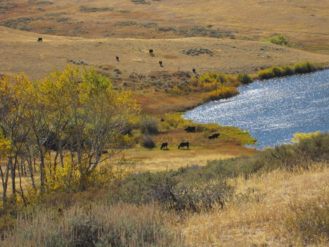
3. Lake Ridge Estates – Natrona County, WY (Alcova Reservoir)
WLC Engineering and Surveying developed and implemented a financing strategy for a public private partnership to construct a secondary access road to Alcova Reservoir. The project offers a more direct access to the reservoir from Lake Ridge Estates and benefits the general public. The only existing access to the reservoir is via Lake Shore Drive, a narrow road between the lake and sheer rock walls with no guardrails or shoulders. This secondary access road does not skimp on the lake views or those of the surrounding scenery.
WLC also provided design, construction observation, and materials testing for this project.
4. Maxson Mineral Boundary Surveys – Carbon County, WY
WLC Engineering and Surveying was hired to recover and mark the boundary of 10 Mineral Survey claims and one Government Track located within Sections 11-14, T12N, R86W 6th P.M., Carbon County, Wyoming.
WLC conducted research, recovered corners, marked the boundary line, and defined an easement description for access along an existing Forest Service Road. WLC was able to reduce costs on this project by camping on site, which as you can tell from the picture, was made for a memorable experience.
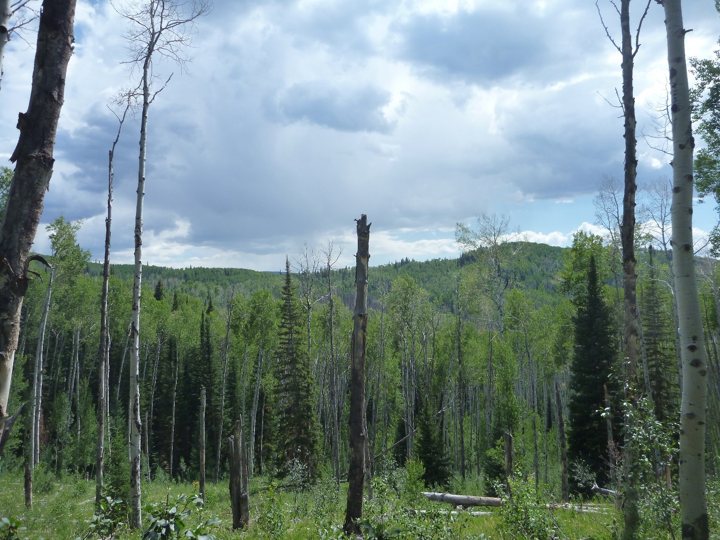
5. Pioneer Park Wind Farm – Converse County, WY
Wasatch Wind Energy, a leader in wind energy development, engaged WLC’s Survey and GIS groups in the fall of 2010 to quickly perform a boundary inventory on the proposed Pioneer Park Wind Farm. The proposed site, located in the North Laramie Range of western Converse County, Wyoming, covers approximately 35,000 acres of picturesque high grasslands and timbered mountain slopes. Beginning a boundary survey in late fall at high altitude presented a number of logistical and technical challenges but made for beautiful fall scenes.