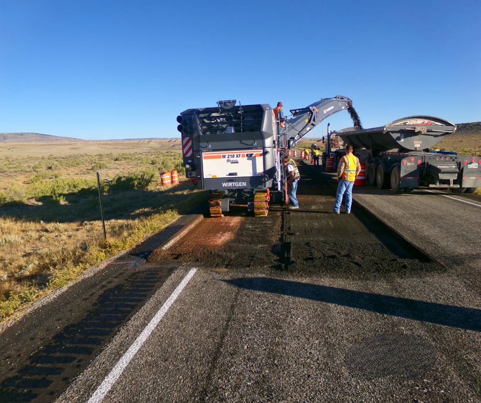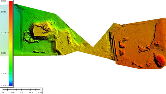
As part of civil engineering efforts on the Kelly Walsh High School construction project, an aerial survey was conducted using a small unmanned aerial system (sUAS) to collect data for calculation of earthwork quantities. The field work for the nearly 20-acre flight mission, completed in one day, included setting, surveying, and removal of aerial targets, collecting over 2,300 images with the sUAS, and surveying surface check points with GPS. The images are processed to create a dense 3D point cloud, from which a textured mesh, and high resolution orthoimagery are created. The 3D points are used in creating the ground surface for use by the engineers in Autodesk Civil3D. The project site was ideal for aerial survey as the surface was primarily bare earth. The site included many stockpiles and excavation areas that would have taken much more time to survey using conventional methods.