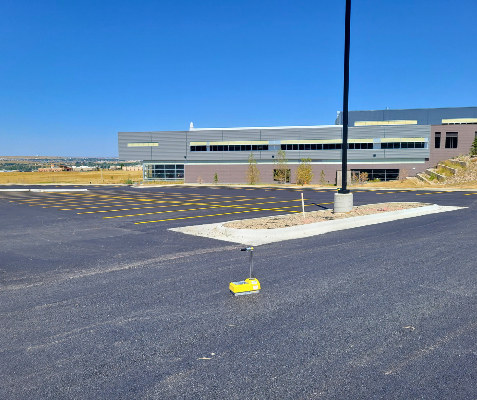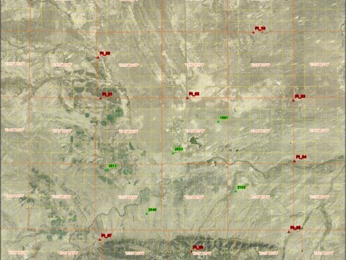
WLC was contracted by the City of Casper to perform quality assurance/quality control services for the MPO Aerial Flight project. The flight collection area encompassed 386 square miles and included the corporate areas of Casper, Bar Nunn, Mills and Evansville, Wyoming. Data deliverables from the flight included 4-band orthophotography, planimetric features and LiDAR based topographic products. WLC was responsible for recovering and documenting the flight control set by the aerial contractor and for identifying and analyzing them for horizontal and vertical accuracy. Horizontal and vertical accuracy analysis was performed using National Standards for Spatial Data Accuracy (NSSDA) methods. A final report containing the recovered and set control point values as well as the NSSDA calculations was provided to the City of Casper to assist in the acceptance process for the aerial contractor’s geospatial products.