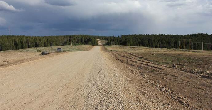
WLC was hired to survey the centerline of the heavily used, unimproved Archery Range Road. The purpose of the survey was to confirm the location of the road based on subsisting maps and records. WLC provided research and documentation for areas of conflict, the necessary exhibits and descriptions to remedy these issues, and the final document for acceptance by the Board of County Commissioners. The scope also included the retracement of five sections to recover and reestablish Public Land Survey System Corners at changes in ownership and for ties to the Point of Beginning and Terminus; and acquired necessary trespass and access permission throughout the project. The project was performed with survey grade Trimble GPS equipment and by Robotic Total Station when timber canopy was an issue.